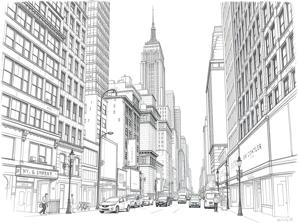
Getting around New York City can feel like a rite of passage. With a dense subway grid, expanding bike networks, ferries that stitch waterfront neighborhoods together, and walkable streets that reveal hidden gems, moving across the five boroughs has never been more accessible—if you know a few local tricks.
Master the basics: subway, bus, ferry
The subway remains the fastest way to cover long distances, especially during peak traffic. Use official service alerts and real-time apps to avoid delays and plan transfers. Buses are invaluable for crosstown trips and areas with limited subway coverage; boarding from the front or using contactless payment options speeds things up.
Ferries provide scenic, dependable links between Manhattan, Brooklyn, Queens, the Bronx, and Staten Island.
The Staten Island ferry is the quintessential free ride with skyline views, while neighborhood ferry routes offer a relaxed alternative to crowded trains during commute hours.
Tap-and-go payments and contactless convenience
Contactless payment systems have simplified fare payment. Most transit services accept contactless credit/debit cards and mobile wallets—just tap and go at the turnstile or bus reader. For frequent riders, reloadable fare options still save money and can be managed online.
Bike and micromobility options
Citi Bike and other shared-bike networks have spread across more neighborhoods, with more electric-assist bikes available—perfect for hilly routes or longer commutes. For short trips, bikes often beat the subway in speed and convenience.
Helmets and bike lanes matter: choose protected lanes when possible and lock bikes properly when leaving them.
Shared scooters remain limited compared with bikes; check local regulations before using one. If you bring a personal e-bike or scooter, be mindful of rules for sidewalks and bike lanes.
Walk the neighborhoods
New York is famously walkable. Neighborhoods like Greenwich Village, Lower East Side, Williamsburg, Astoria, and the South Bronx reveal much more on foot than from a passing train. Walking lets you discover small restaurants, murals, pocket parks, and unmarked gem shops. Comfortable shoes and a plan to detour for interesting blocks will reward you.
Safety and comfort tips
– Check service alerts before you go.
Weekend maintenance and late-night changes are common.
– Keep belongings close in crowded stations; cross-body bags and zipped pockets reduce risk.
– Choose well-lit station exits late at night and consider rideshares for short gaps when service is sparse.
– Respect lane signals and pedestrian crossings—driver and cyclist behavior can be unpredictable.
Apps and tools that help
– Transit planning apps provide real-time arrival data and multimodal routing (subway, bus, bike, ferry).
– Bike-share apps show nearby stations and bike availability.
– Local neighborhood blogs and event calendars list pop-up markets, block parties, and outdoor performances that transform a routine trip into an experience.
Accessibility and inclusivity
Many stations have elevators and ramps, but accessibility is uneven. Plan routes using accessible-station maps and call ahead if you need assistance. Buses are generally wheelchair-accessible and a good alternative when subway accessibility is limited.
Make it local
Ride a ferry at sunset, take a bike across a waterfront esplanade, follow a mural trail, or simply walk a new avenue each weekend. The more you mix modes—subway for speed, bike for flexibility, ferry for views, walking for discovery—the more the city’s rhythm becomes intuitive rather than overwhelming.
With practical planning, a few apps, and an openness to explore, navigating New York City becomes less about logistics and more about experiencing a vibrant, ever-changing urban tapestry.