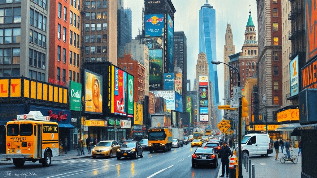
New York City streets are not what they used to be.
Pedestrian plazas, protected bike lanes, and a surge in micromobility options have shifted how people get around — making walking, cycling, and scootering not just viable but often preferred choices for short trips.
Whether you’re a resident or visiting for a few days, understanding how the city’s evolving streetscapes work will make travel faster, safer, and more enjoyable.
What’s changed and why it matters
City leaders and community groups have reclaimed curb and car space to create plazas, parklets, and wider sidewalks.
Protected bike lanes now form connective corridors across many neighborhoods, and pop-up “Open Streets” programs temporarily close stretches of roadway to cars. This combination reduces car dependency, improves air quality, and creates safer routes for people on foot and on wheels.
Practical navigation tips
– Plan routes that favor protected lanes and low-traffic streets. Popular mapping apps now include bike and pedestrian routing that highlights protected infrastructure.
– Use the official bike-share and micromobility apps for availability and docking info. These apps also show suggested routes and safety reminders.
– When walking in pedestrian plazas or shared streets, stay aware of cyclists and delivery riders. Shared use requires mutual courtesy: keep right, signal turns, and avoid blocking loading zones.
– If driving, expect reduced curbside space in busy neighborhoods. Respect loading zones and be mindful of temporary street closures for events or street improvements.
Safety and etiquette
– Always yield to pedestrians in crosswalks and plazas.
Pedestrians have priority in many reclaimed spaces.
– Cyclists should signal, use lights at night, and ride at a controlled speed in mixed-use areas. When a bike lane exists, use it rather than the sidewalk.
– Scooter and e-bike riders should treat sidewalks with caution; many areas require riding on the street or in bike lanes.
Park devices out of pedestrian paths and avoid tethering to trees or railings.
– Be extra cautious around delivery activity. Curbside loading is a lifeline for local businesses but contributes to congestion — give space and expect sudden stops.
Where to explore
Neighborhoods with notable pedestrian amenities include commercial corridors, waterfront esplanades, and cultural districts.
Look for plazas with seating and green elements, linear parks that connect multiple neighborhoods, and bike-friendly bridges that offer scenic, traffic-separated crossings. Weekend street fairs and curated Open Streets offer great opportunities to experience the social side of the new streetscape.
Accessibility and equity
Many of the changes prioritize safer access for people with mobility needs: curb ramps, tactile paving, widened sidewalks, and audible crosswalk signals. Ongoing investments aim to extend these improvements to underserved neighborhoods, but feedback to city agencies and local community boards remains a vital part of shaping equitable outcomes.
Resources to check
– City transportation department websites and apps for real-time closures and project maps.
– Bike-share and micromobility platforms for availability, safety guidelines, and designated parking areas.
– Local community board pages for neighborhood-specific street initiatives and volunteer opportunities.
Embracing the new street culture means balancing convenience with consideration. Whether walking, biking, scooting, or driving, following simple rules — be visible, be predictable, and be courteous — helps everyone move through the city more smoothly and enjoyably. Exploring these redesigned streets is one of the best ways to see the city up close and discover neighborhoods at human pace.