Getting around New York City can feel like its own art form: efficient, fast, and full of little local hacks. Whether you’re a visitor or a longtime resident, understanding how the subway, buses, bikes, ferries, and pedestrian-friendly streets work together makes every trip smoother and more enjoyable.
Tap-and-go transit: speed and convenience
Contactless payment is widely accepted across buses and trains, letting you tap a card or mobile wallet and go. This reduces lines and speeds boarding on busy routes. Always check the transit authority’s service alerts before you leave — planned maintenance and overnight work are common, and a quick look at alerts saves time. Popular transit apps aggregate schedules, real-time arrivals, and service changes so you can pick the fastest route and avoid surprises.
Mix modes for faster trips
The smartest trips combine modes: a short Citi Bike ride to a nearby subway entrance, a ferry for a scenic river crossing, or a bus for crosstown travel where trains don’t help. Ferries connect many waterfront neighborhoods and offer reliable alternatives when bridges or tunnels are congested. Dockless bike-share and e-bikes expand options for short hops, but remember to follow local rules and use bike lanes where provided.
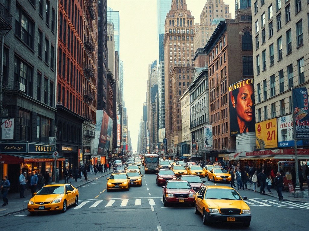
Know the top-route tricks
– Cross-town trips are often quicker by bus or bike than by subway.
Buses have dedicated lanes along key corridors; use them when direct east-west travel is needed.
– When transferring, choose stations with fewer platform changes to save time and avoid crowded staircases.
– Off-peak travel can be more comfortable if your schedule is flexible, especially for longer commutes or sightseeing.
Safety, accessibility, and etiquette
Mind the gaps and platform edges, and keep personal items secure during crowded rides. If you need step-free access, check the accessibility map before your trip — not all stations have working elevators, and alternatives may be necessary.
When riding bikes, stick to protected bike lanes when possible, signal turns, and yield to pedestrians in shared zones.
Make walking part of the plan
Many neighborhoods are designed for walking, with expanded pedestrian plazas and human-scaled streets that make short trips pleasant. Walking lets you discover small businesses, street art, and local food stops that maps alone won’t reveal. Wear comfortable shoes and plan routes that use quieter side streets if you prefer a calmer walk.
Practical apps and tools
Use a mix of official transit apps and crowd-sourced tools for the most accurate picture: real-time arrival data, service advisories, bike availability at docks, and ferry schedules are all accessible on mobile. Save commonly used routes offline or pin favorite stops to speed planning during busy days.
Sustainable, efficient, and enjoyable
New York’s mobility landscape is constantly evolving, with more emphasis on sustainable options, shared mobility, and pedestrian-first streets. Embracing a multimodal mindset — combining transit, bikes, ferries, and walking — typically delivers the fastest, cheapest, and most pleasant urban trips. Plan, stay flexible, and enjoy moving through a city that rewards curiosity and local knowledge.